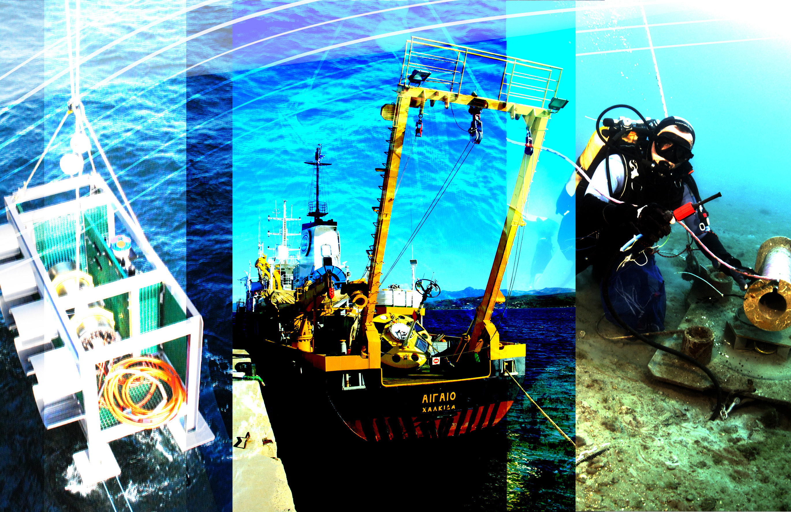
Four scientific projects have been approved within the first call for Transnational Access (TNA) to the EMSO ERIC observatories.
The object of the call was to offer free-of-charge access to three EMSO ERIC facilities where external measuring systems can be installed, including instruments, systems, new technologies, and where new procedures can be tested and experiments take place (find out more at the TNA page).
The available infrastructures were those of EMSO-NICE (IFREMER), EMSO-PYLOS (HCMR) and EMSO-SMARTBAY (MI).
The following projects have been assessed and selected based on the scientific and technical quality, as well as the novelty of the proposed activities.
- EMSO-NICE: MODAL – MOnitoring seafloor Deformation and Assessing Landslide hazards associated with pressures (Nice slope) –, a project on Geohazards & Geological Processes lead by MARUM University (Germany).
The main aim of this collaborative project is to carry out hazard analysis associated with sediment deformation in a submarine environment prone to fluid activities, earthquake shaking, and landslides. The presence of the EMSO seafloor observatory will help to acquire continuous monitoring of this displacement rate. At a larger scale, this localised displacement rate will help 1) to better constrain the rapid geomorphological changes caused by landslides and to accomplish the main objective of this project by developing an integrated hazard assessment of the area and 2) to assess the danger of evolution from possible pre-failure stage of the slope to general catastrophic slope failure by the discrimination and quantification of the “causes” (groundwater discharge, earthquakes) and the potential consequences (slope displacement rate, return frequency of instabilities).
- EMSO-PYLOS: DISAG – Detection of Increased Seismic Activities by Gradients –, a project on BioGeoChemistry & Geohazards lead by Aanderaa Data Instruments (Norway).
Monitoring CO2 efflux has demonstrated to be a useful tool to forecast precursory signals of volcanic eruptions and seismic events several days ahead of an eruption/earthquake, Padron et al. (2008). DISAG proposes to combine multi-level, gradient measurements of pCO2 and O2 close to the bottom to investigate if this could be an efficient method to quantify and distinguish between “normal” mainly biologically driven processes at the sediment-water interface and events with CO2 dominated release driven by seismic activities. Due to the frequent seismic activities at the Pylos site makes it a favourable location for methodological development of an early warning earthquake system.
- EMSO-PYLOS: IMAPOCEAN – Integrated Multilevel Active and Passive Oceanographic Current Education Advancement Network –, a project on Physical Oceanography lead by Paramount Planet Product, Maine University, (USA).
IMAPOCEAN main objectives are to execute a multilevel study of the water column using both active and passive monitoring tools. The project will be supplementing PYLOS observatory with a vertical profile by measuring currents from 1m to 1650m. IMAPOCEAN also has a citizen science component, to engage public and students in ocean current research through constructing and deploying surface drifters.
- EMSO-SMARTBAY: SmartLobster, a project on Ecology & photo/video time series lead by ICM-CSIC (Spain).
The Norway lobster, Nephrops norvegicus (L.), is one of the most important commercial fishery resources in Europe (ICES, 2017), and its behavior has never been tracked with video-cabled observatory technology. Animals dig and inhabit complex burrow systems used for shelter and for territorial control at moments of emergence (Sbragalia et al., 2018)
SmartLobster project will aim to use the Smartbay camera and a new autonomous imaging device, conceived for long-lasting deployment (GUARD1/DeepEye) for monitoring the burrow emergence behaviour in N. norvegicus by means of continuous day-night video and multi-parameter environmental data collection in the Galway Bay area, as one of the major fishery ground for the species in the European Atlantic. In order to do so, SmartLobster team will enforce a video-based evaluation of: 1) the dynamic of burrow digging and maintenance by each individual; 2) the role of ecological (i.e. predators and preys) and the environmental (oceanography and meteorology with special focus on light) control in modulating individual variability in burrow emergence; 3) the role of social aggressive interactions in modulating emergence timing and duration of emergence in a group of neighbors; and finally, 4) the establishment of an automated video-imaging protocol to track animal movement and to identify social aggressive interactions occurrences.
Tracking the temporal variability of marine resources and biodiversity is a need of strategic importance for the conservation of marine ecosystems (Danovaro et al., 2017). This information, yet largely unavailable, is deemed critical to manage commercially fishery in both coastal areas and continental margins (reviewed by Aguzzi et al., 2017)


