Project Description
BLACK SEA
SUMMARY
The Black Sea is one of the largest regional seas of the Eurasian continent and unique in many of its geographical, geological, biological, hydrographical and socio-political characteristics. With anoxic conditions in the deep, problems with invasive species and high sediment loads delivered to the system, this area has unique problems requiring long-term stations. The Black Sea is located in a geological complex area, where three major tectonic plates (Eurasian, Anatolian, Arabian) interact. Geo hazards, such as earthquarkes, submarine landslide, displacement along active faults, are present and are possible triggers of tsunami, together with extreme meteorological events.
EMSO scientific disciplines: geosciences, physical oceanography

Scientific objectives
Long-term environmental monitoring and for the prevention/mitigation of the marine geo hazards.
Description of the infrastructure
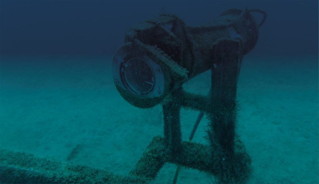
The newly established Black Sea Security System – EUXINUS, the result of the MARINEGEOHAZARD project, is a cross-border Romanian–Bulgarian cooperation and was developed as a solution for long-term environmental monitoring and for the prevention/mitigation of the marine geohazards (e.g., earthquakes, active faults, and submarine landslide) which affect the entire Black Sea coastal area. The system, unique in the Black Sea area, is able to collect long-term real time data for several key environmental parameters (e.g., CTD, water current, water pressure, etc.). The system consists in three offshore moored observatories, each including underwater modules and a coastal gauge limited to the surface module. The offshore observatories are moored 160 km from the Romanian Black Sea coast at about 90 m water depth. The Coastal gauge (CG) is installed in front of the Mangalia harbor, Romania (1,5 km from the seashore) at 15 m water depth.

