Project Description
Western Mediterranean Sea / W1M3A
SUMMARY
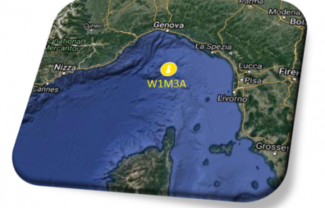
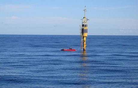
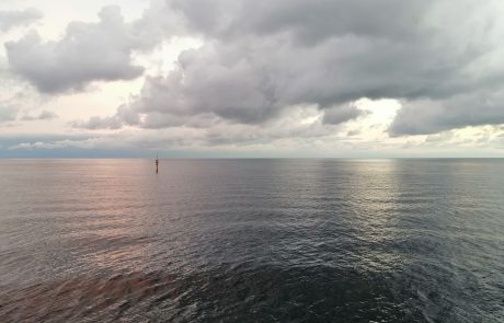
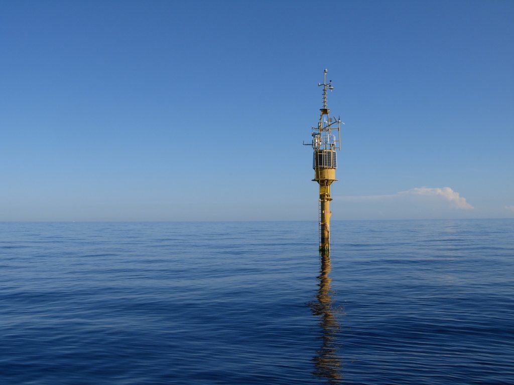
The W1M3A observing system is one of the most important infrastructures of the National Research Council of Italy and it is moored in the North-Western Mediterranean Sea, inside the area known as the “Cetacean’s Sanctuary”. It is a region dominated by a quasi-permanent cyclonic circulation fed by two distinct fluxes, one from the Tyrrhenian Sea through the Corsica Channel and the other from the northwestern side of Corsica which merge there before cascading in the western part of the basin toward the deep canyons in front of Genoa.
This observatory allows the monitoring of the conditions and the sea state by continuously acquiring meteorological, physical, bio-geochemical, wave and underwater sound measurements. The buoy can be imagined as a “miniature island” able to offer a substrate for the development of a rich biological community as many organisms settle and develop on the buoy, colonizing its entire underwater surface.
EMSO scientific disciplines: physical oceanography, biogeochemistry, atmosphere, underwater sound.
General information
Location: North-Western Mediterranean Sea
Distance from land: 80 Km
Max water depth: 1200 m
Date 1st deployment: February 2000
Supported by: Italy, National Research Council of Italy (CNR)
Operated by: Institute of Anthropic Impacts and Sustainability in the marine environment (CNR-IAS)
Website: www.w1m3a.cnr.it
Status: running, operational
Regional Team Leader: Roberto Bozzano, National Research Council of Italy (CNR) (roberto.bozzano@cnr.it)
Scientific objectives
To investigate air-sea interactions and connection between physics and bio-geo-chemistry along the water column on long-term for assessing climate changes and ocean acidification. To monitor underwater ambient sound and to identify anthropogenic, geophysical and biological sound sources.
Description of the infrastructure
The W1M3A observing system is composed of two sub-systems:
- a large spar buoy, nominally known as “ODAS Italia 1” to acquire EOV in the upper 40 m of water column;
- a sub-surface mooring acquiring data in the ocean interior.
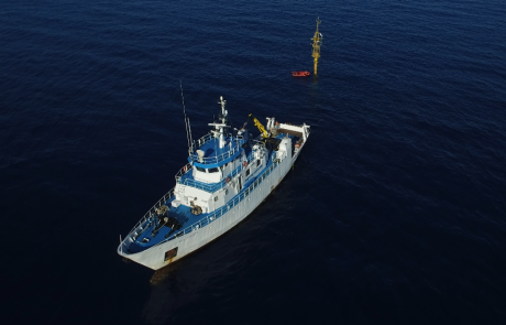
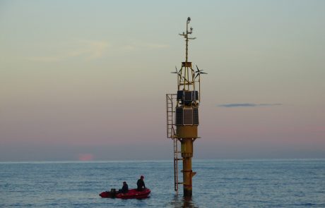
The surface buoy represents one of the few examples in the world of large spar meteo-oceanographic buoy. The overall structure is 51-meter-long with a dry-weight of about 12 tons. The observatory is permanently moored on the seabed through a 2000 m long slack polypropylene mooring cable terminated by ship chains and an anchor. The buoy spans a watch circle of 3 km of diameter to sustain ocean currents, winds, and waves. The pole emerges about 15 meters above sea level, whereas the remaining 36 meters remain submerged. On the upper mast, the meteorological instruments are installed. At about 7 meter above the mean sea level, a small closed space hosts the electronic systems for data collection. Along the underwater pole, at several depths, instruments are deployed. All electronic systems and most sensors are powered by a wind/solar system that recharges two separate batteries. Acquired data are stored on board but a subset of the data is transmitted ashore through a satellite link.
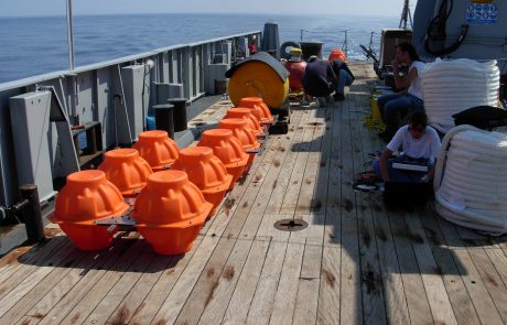
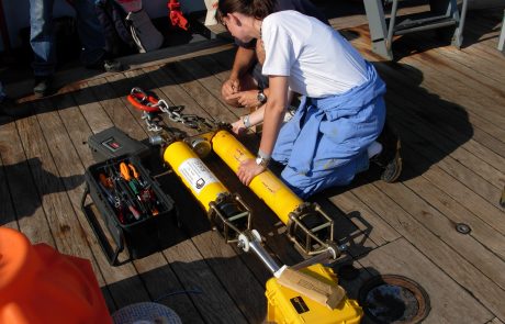
The sub-surface mooring is a standard oceanographic mooring composed of pieces of Kevlar rope with floats kept in position by a ballast on the sea bottom which can be detached using a pair of acoustic releasers. Along the mooring line, several CTDs are deployed at different depths.


