Project Description
HELLENIC ARC
SUMMARY
The Hellenic Arc is a subduction zone, that is where one tectonic plate “sink” under another one. It is the most tectonically active region in Europe, with a varieties of geo hazards, such as high sismicity, slope instabilities and tsunami. The deep ecosystem is poor in nutrients (oligotrophic) and sensitive to climate change. The region is also on the routes of many cetaceans, that can be monitored through bioacoustic sensors, which are part of the EMSO Regional Facility equipment.
EMSO scientific disciplines: geosciences, physical oceanography

General information
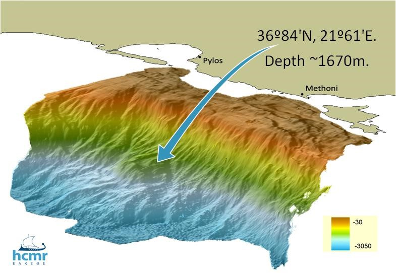
Location: Mediterranean Sea, Hellenic Arc
Distance from land: 12 NM
Max water depth: 1600 m
Date 1st deployment: May 2007
Supported by: Hellas
Operated by: HCMR
Website: http://poseidon.hcmr.gr
Status: running/in development (updated March 2022)
Regional Team Leader: George Petihakis, HCMR
Scientific objectives
Real‐time long‐term monitoring of oceanic circulation, deep‐sea processes and ecosystems evolution. Study of episodic events such as earthquakes, submarine slides, tsunamis, benthic storms, biodiversity changes, pollution. Simultaneous data relative to: seismology, geodesy, sea level, fluid and gas vents, physical oceanography and biodiversity imaging at different scales.
Description of the infrastructure
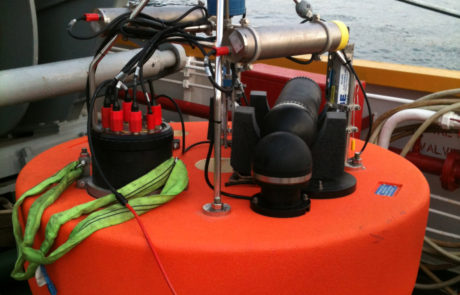
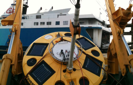
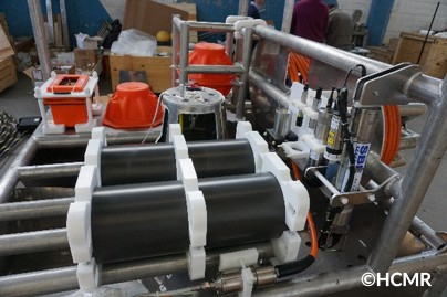
The Pylos station is a part of POSEIDON buoy network that currently consists of 6 oceanographic mooring sites monitoring in the Aegean and Ionian Seas. The infrastructure operates since May 2007 in the SE Ionian Sea at a depth of approximately 1600m, and the original setup comprised of two major parts: the water column component with a surface buoy and the autonomous seabed platform. Later in 2018 the autonomous seabed platform was substituted with the cabled seabed observatory. Today, data for a variety of meteorological, water column and near seabed oceanographic parameters are delivered in near real time. An inductive mooring line provides salinity, temperature and pressure real-time data from surface to 1000 meters depth. The fixed seabed observatory is powered by an onshore fiber optic cable capable of transferring power and large amounts of data in real time. In this way it is possible to complement other parameters and processes observed throughout the water column from the surface of the sea to the seabed and its substrates.


