Project Description
WESTERN IONIAN SEA
SUMMARY
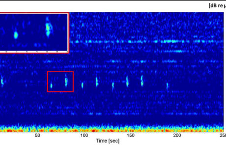
The area is prone to numerous natural hazard issues due to high seismicity and the presence of Mount Etna, one of the biggest and active volcanoes in Europe, whose roots possibly sink down to the seafloor. Seismicity is linked to the collision between African and European plates and the region experienced large historical earthquakes and some of these strongest earthquakes (the most recent in 1908) caused also very intense tsunami wave. This is also a key site for the oceanographic circulation between Eastern and Western Mediterranean Sea through the Messina Strait and the Sicily Channel. Acoustic detectors are used for sea noise monitoring, considering that acoustic pollution affects the good environmental status of the sea. Underwater noise, for example, could interfere with the main communication channel for several marine species, thus altering the ecological equilibrium in the area. Acoustic measurements also allow marine mammals monitoring.
EMSO scientific disciplines: physical oceanography, geosciences, marine ecology

General information
Location: Mediterranean Sea, East of Sicily
Distance from land: 25 km
Max water depth: 2100 m
Date 1st deployment: 2001
Supported by: Italy
Operated by: INGV, INFN, CNR-ISMAR
Website: https://westernioniansea.ingv.it/
Status:
running seafloor platforms – CALIPSO and DIONE;
running mooring – Galatea, periodic maintenance every 6 months;
running – SMART cable
Regional Team Leader: Davide Embriaco, INGV
Scientific objectives
Geo hazards assessment with the real-time monitoring of earthquakes and tsunamis. Physical oceanographic parameters and water mass properties at the seafloor and along the water column. Time variations of terrestrial potential fields and electrical properties. Marine acoustic noise characterization and bio-acoustic tracking. Rheological properties of solid matter.
Description of the infrastructure
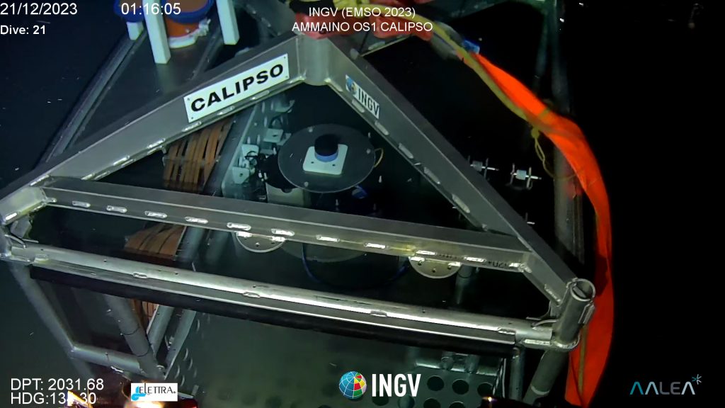
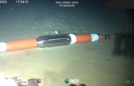
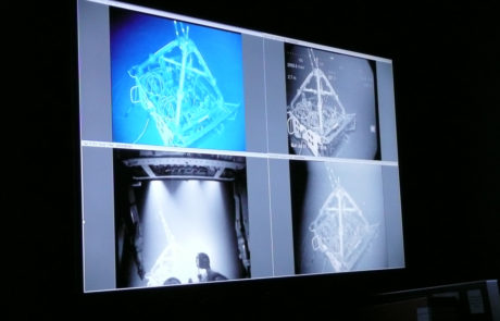
An underwater fiber optic cable run on the seafloor from Catania harbor and splits in two branches at about 20 km off the Eastern Sicily coasts and at about 2100 m w.d. Since December 2023, the North branch hosts two new geophysical and oceanographic platforms CALIPSO and DIONE, managed by INGV. A mooring system, managed in collaboration with by CNR-ISMAR and maintained every six months, is operative in the same area in autonomous mode to monitor sea water column properties. The first prototype of SMART (Science Monitoring And Reliable Telecommunications) cable completes the platforms hosted by Western Ionian Sea. It is a cable similar to the numerous ones used for telecommunication in which 3 sets of geophysical sensors are integrated (seismometer, accelerometer, pressure and temperature sensors) in the three repeaters. The entire infrastructure is powered by an onshore electro-optical cable capable of transferring power and large amounts of data in real time to the onshore station in the Catania harbor.


