Project Description
South Adriatic Sea / E2-M3A
SUMMARY
The contribution of the National Institute of Oceanography and Applied Geophysics – OGS to EMSO is represented by the E2-M3A observatory is located in the Southern Adriatic Pit. Oceanographically, it is positioned in the centre of the cyclonic gyre where deep convection processes take place, involving both the atmosphere and the ocean dynamics forming new dense and oxygenated waters. The Southern Adriatic Interdisciplinary Laboratory for Oceanographic Research is particularly devoted towards studies for characterizing the long-term changes of Adriatic Sea in response to local climatic forcing.

General information
Location: Southern Adriatic Pit
Distance from land: 60 nautical miles
Max water depth: 1200 mt
Date 1st deployment: November 2006
Supported by: National Institute of Oceanography and Applied Geophysics – OGS
Operated by: National Institute of Oceanography and Applied Geophysics – OGS and Istituto di Scienze Polari ISP – CNR
Website: http://nettuno.ogs.trieste.it/e2-m3a/
Status: running
Regional Team Leader: Vanessa Cardin, National Institute of Oceanography and Applied Geophysics – OGS (vcardin@ogs.it)
Scientific objectives
Long-term multidisciplinary monitoring to assess the Adriatic’s response to climate forcing. Study dense water formation processes, water mass properties, biogeochemical cycles, and cascading in the southern Adriatic, understanding ecosystem function especially in relation to carbon sequestration dynamics and acidification processes in deep waters
Description of the infrastructure
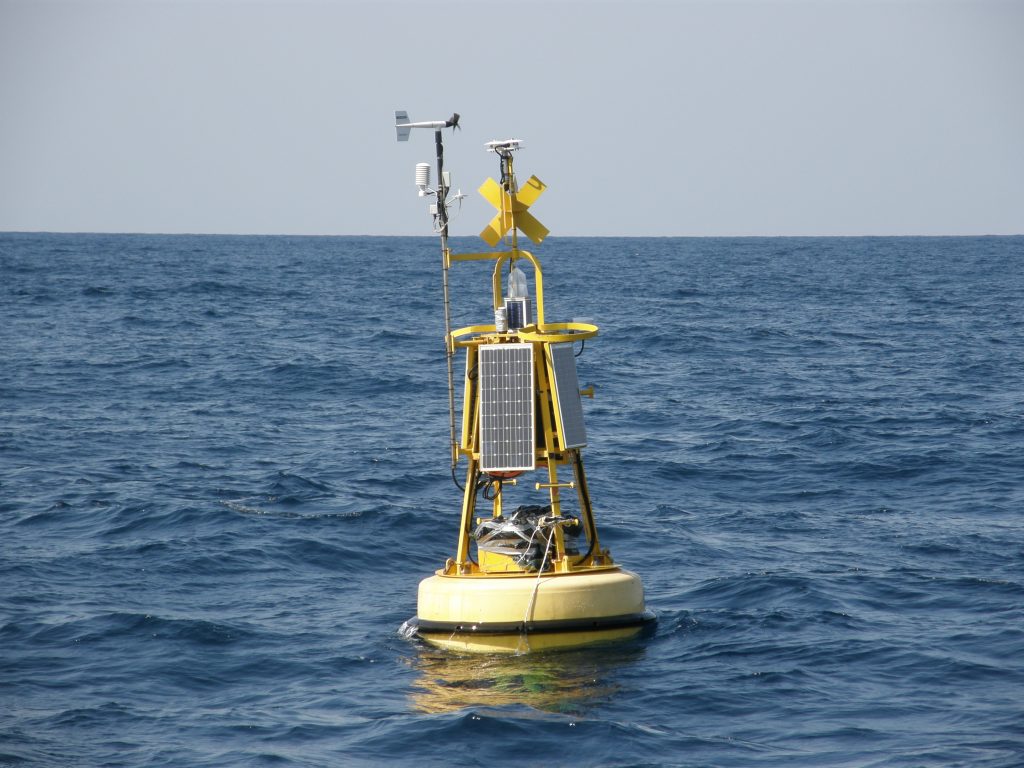
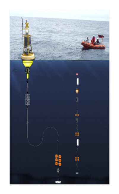
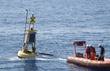
The EMSO regional facility for the South Adriatic Sea includes two sites, namely the South Adriatic Pit observatory (E2M3A) and the Shelf-slope observatory site (BB and FF) located in the western part of the basin. The E2M3A site is a two mooring system where the main one hosts the surface buoy instrumented with meteorological station and radiometers to collect air-sea interaction measurements, sensors for physical (temperature and salinity) and biochemical (oxygen, partial CO2 and pH) parameters distributed in the mixed layer, telemetry and services. The surface buoy collects the acquired data and transmits them in real time to the on-line server. The secondary mooring line houses an instrumental chain with sensors at different depths for physical and chemical measurements from the sea floor to the intermediate layer. Each of the BB and FF moorings consists of a single mooring of about 100 m that measures physical and geochemical parameters and have the role of intercepting the passage of North Adriatic Dense Water (NAdDW), which forms during the winter between Trieste and Ancona, as it sinks.


